san francisco bay area ca vector road map blue text - napa map stock illustrationsSan Francisco Bay Area CA Vector Road Map Blue TextMap, San Francisco Bay Area, California
napa ca city vector road map blue horizontal - napa map stock illustrationsNapa CA City Vector Road Map Blue HorizontalMap, USA
napa county, california. map in retro vintage style - old textured paper - napa map stock illustrationsNapa County, California. Map in retro vintage style - Old textured paperMap, California, District
cartoon map of california - napa map stock illustrationsCartoon map of CaliforniaMap, California, Napa Valley
cartoon map of california - napa map stock illustrationsCartoon map of CaliforniaMap, California, City Of Los Angeles
california travel map - napa map stock illustrationsCalifornia Travel MapMap, California, Napa Valley
san francisco bay area ca vector road map blue horizontal - napa map stock illustrationsSan Francisco Bay Area CA Vector Road Map Blue HorizontalMap, San Francisco Bay Area, California
Map of the mining district of California, 1851. This map, produced in two parts in the early years after the California Gold Rush of 1849, shows the...Map Of The Mining District Of California
california map with san francisco bay area inset - napa map stock illustrationsCalifornia map with San Francisco Bay Area insetSan Francisco - California, Map, California
cartoon map of california - napa map stock illustrationsCartoon map of CaliforniaMap, USA, Napa Valley
cartoon map of california - napa map stock illustrationsCartoon map of CaliforniaCalifornia, City Of Los Angeles, Poster
cartoon map of california - napa map stock illustrationsCartoon map of CaliforniaCalifornia, Cartoon, Redding - California
napa ca city vector road map blue text - napa map stock illustrationsNapa CA City Vector Road Map Blue TextMap, River, California
Map of the counties of California around the San Francisco Bay in 1851, during the Gold Rush, which had started in 1849. Towns and gold camps are...Northern California Counties During the Gold RushGold Rush, Map, California
cartoon map of california - napa map stock illustrationsCartoon map of CaliforniaCalifornia, Map, Cartoon
retro traveling of california - napa map stock illustrationsRetro Traveling of CaliforniaCalifornia, Map, San Francisco - California
cartoon map of california - napa map stock illustrationsCartoon map of CaliforniaMap, California, Tourism
cartoon map of california - napa map stock illustrationsCARTOON MAP OF CALIFORNIACalifornia, Map, San Diego
california national park map - napa map stock illustrationsCalifornia National Park MapMap, California, Hollywood - California
cartoon map of california - napa map stock illustrationsCartoon map of CaliforniaMap, City Of Los Angeles, Los Angeles County
cartoon map of california - napa map stock illustrationsCartoon map of CaliforniaMap, San Diego, California
cartoon map of california - napa map stock illustrationsCartoon map of CaliforniaMap, California, San Francisco - California
cartoon map of california - napa map stock illustrationsCartoon map of CaliforniaMap, California, Cartoon
cartoon map of california - napa map stock illustrationsCartoon map of CaliforniaRedwood Tree, Redwood National Park, Map
Map shows the progress of Greg Baxter, building inspector, Napa County, Planning, Building and Environmental Services and Craig Gaevert, archtect, as...A map shows the progress of Greg Baxter, building inspector, Napa County, Planning, Building and Environmental Services and Craig Gaevert, archtect, as they work red and yellow tagging homes on Canyon Drive to help make a rapid assessment on Tuesday, Octo
Coast Survey Map of the Mare Island Straits, Vallejo, and the Napa River, Near San FranciU.S. Coast Survey Map of the Mare Island StraitsIsland
cartoon map of california - napa map stock illustrationsCartoon map of CaliforniaCalifornia, Redwood Tree, Redwood National Park
cartoon map of california - napa map stock illustrationsCartoon map of CaliforniaCalifornia, Redding - California, Golden Gate Bridge
cartoon map of california - napa map stock illustrationsCartoon map of CaliforniaSan Diego, San Francisco - California, Map
california - napa map stock illustrationsCaliforniaCalifornia, San Jose - California, San Jose - Costa Rica
cartoon map of california - napa map stock illustrationsCartoon map of CaliforniaCalifornia, Redding - California, San Jose - California
san francisco and surroundings 1893 atlas map from brockhaus encyclopedia - napa map stock illustrationsSan Francisco and Surroundings 1893 Atlas Map from Brockhaus Encyclopedia
Political Map Of California, Political Map Of The State Of California, Showing Counties And County Seats, Including Insets Of The Los Angeles And San...Political Map Of CaliforniaCalifornia, Map
Randy Dunn of Dunn Vineyards looks over a map of one of his properties that is marked with recent wildfire activity in Angwin, California, August 30,...US-CLIMATE-FIRE-AGRICULTURE-WINECalifornia, Map
Butter, Jam and Toast wines put Napa's JaM Cellars on the map.Napa Valley: Insider's guide to splurge-worthy getaway deals
california state alphabet for children - napa map stock illustrationsCalifornia State Alphabet for children
napa county, california map. round icon with long shadow on red or blue background - napa map stock illustrationsNapa County, California map. Round icon with long shadow on red or blue background
napa county, california map with location pins on white background - napa map stock illustrationsNapa County, California Map with location pins on white Background
napa county, california maps for design. easily editable - napa map stock illustrationsNapa County, California maps for design. Easily editable
napa county satellite topographic map 3d render true color - napa map stock pictures, royalty-free photos & imagesNapa County Satellite Topographic Map 3D Render True ColorMt Hood
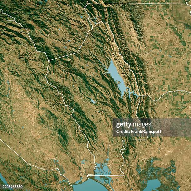
napa county satellite topographic map 3d render true color border - napa map stock pictures, royalty-free photos & imagesNapa County Satellite Topographic Map 3D Render True Color BorderMt Hood
napa county, california. 3d map on gray background - napa map stock illustrationsNapa County, California. 3D Map on gray background
aerial view of ayia napa and sandy bay beach famagusta district,cyprus - napa map stock pictures, royalty-free photos & imagesAerial view of Ayia Napa and Sandy Bay beach Famagusta District,Cyprus
napa county, california. maps on blue and red backgrounds - napa map stock illustrationsNapa County, California. Maps on blue and red backgroundsNapa County, USA
napa county, california. map with blue and red people - napa map stock illustrationsNapa County, California. Map with blue and red People