St. Paul’s Lutheran Church in Residential Neighborhood of Evansville, Indiana - High Angle Drone Shot - stock photo
Aerial shot of Evansville in Vanderburgh County, Indiana on a Fall afternoon.
Authorization was obtained from the FAA for this operation in restricted airspace.

Get this image in a variety of framing options at Photos.com.
PURCHASE A LICENCE
All Royalty-Free licences include global use rights, comprehensive protection, and simple pricing with volume discounts available
£275.00
GBP
Getty ImagesSt Pauls Lutheran Church In Residential Neighborhood Of Evansville Indiana High Angle Drone Shot High-Res Stock Photo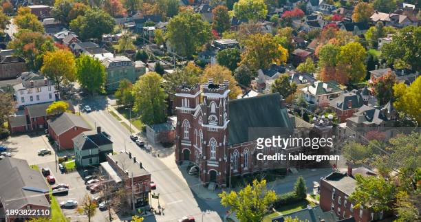 Download premium, authentic St. Paul’s Lutheran Church in Residential Neighborhood of Evansville, Indiana - High Angle Drone Shot stock photos from Getty Images. Explore similar high-resolution stock photos in our expansive visual catalogue.Product #:1893822110
Download premium, authentic St. Paul’s Lutheran Church in Residential Neighborhood of Evansville, Indiana - High Angle Drone Shot stock photos from Getty Images. Explore similar high-resolution stock photos in our expansive visual catalogue.Product #:1893822110£275£50
Getty Images
In stockDETAILS
Credit:
Creative #:
1893822110
Licence type:
Collection:
E+
Max file size:
4096 x 2160 px (34.68 x 18.29 cm) - 300 dpi - 7 MB
Upload date:
Location:
United States
Release info:
No release required
Categories:
- Indiana,
- Evansville,
- House,
- USA,
- Lutheranism,
- Building Exterior,
- Church,
- Town,
- Residential Building,
- No People,
- Outdoors,
- Religion,
- Above,
- Aerial View,
- Architecture,
- Autumn,
- Autumn Leaf Color,
- Built Structure,
- City,
- Cityscape,
- Colour Image,
- Day,
- Drone Point of View,
- Elevated View,
- Flying,
- Horizontal,
- Midwest USA,
- Photography,
- Residential District,
- Street,