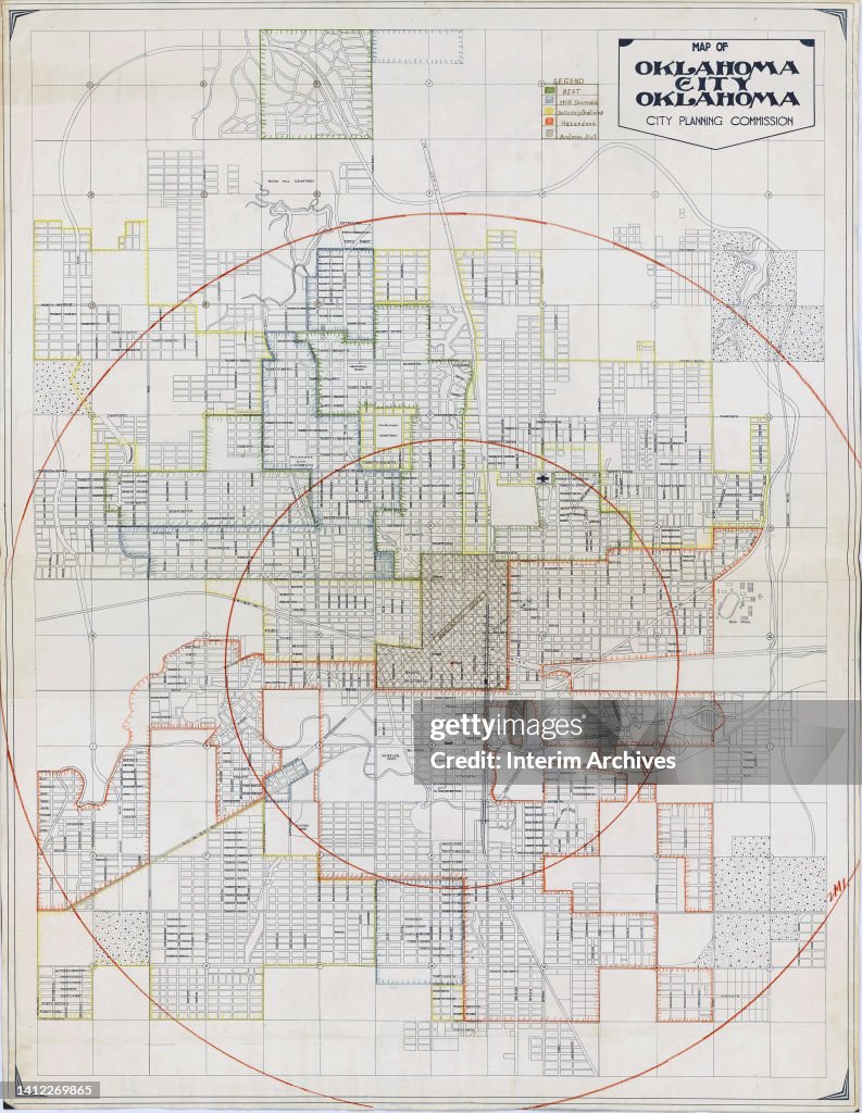
Residential Security Map For Oklahoma City, Oklahoma
Color coded illustrated map of Oklahoma City, Oklahoma in the United States, 1930s. It is annotated to show mortgage lending risk based on neighborhood, including residential, commercial and industrial areas, 1930s. Residential districts are denoted as low, medium and high income areas. These types of maps were later known as redlining maps. They were published by the Home Owners Loan Corporation. (Photo by National Archives/Interim Archives/Getty Images)

PURCHASE A LICENCE
How can I use this image?
£275.00
GBP
Getty ImagesResidential Security Map For Oklahoma City, Oklahoma, News Photo Residential Security Map For Oklahoma City, Oklahoma Get premium, high resolution news photos at Getty ImagesProduct #:1412269865
 Residential Security Map For Oklahoma City, Oklahoma Get premium, high resolution news photos at Getty ImagesProduct #:1412269865
£375£150
Getty Images
In stockPlease note: images depicting historical events may contain themes, or have descriptions, that do not reflect current understanding. They are provided in a historical context. Learn more.
DETAILS
Restrictions:
Contact your local office for all commercial or promotional uses.
Credit:
Editorial #:
1412269865
Collection:
Archive Photos
Date created:
01 January, 1935
Upload date:
Licence type:
Release info:
Not released. More information
Source:
Archive Photos
Object name:
residentialsecuritymap004
Max file size:
3288 x 4248 px (27.84 x 35.97 cm) - 300 dpi - 16 MB