United Kingdom Map and Navigation Icons - stock illustration
Blue United Kingdom Map The urls of the reference files are (country, continent, world map and globe): http://www.lib.utexas.edu/maps/europe/united_kingdom_pol87.jpg http://www.lib.utexas.edu/maps/world_maps/time_zones_ref_2011.pdf - The illustration was completed March 03, 2016 and created in Corel Draw - 1 layer of data used for the detailed outline of the land
Get this image in a variety of framing options at Photos.com.
PURCHASE A LICENCE
All Royalty-Free licences include global use rights, comprehensive protection, and simple pricing with volume discounts available
£275.00
GBP
Getty ImagesUnited Kingdom Map And Navigation Icons High-Res Vector Graphic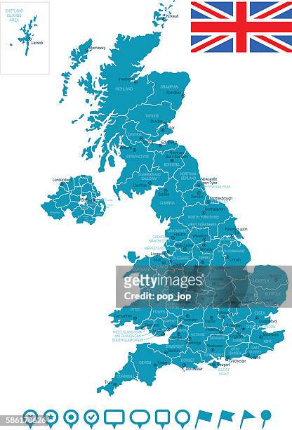 Download premium, authentic United Kingdom Map and Navigation Icons stock illustrations from Getty Images. Explore similar high-resolution stock illustrations in our expansive visual catalogue.Product #:586170626
£275£50
Getty Images
In stockDETAILS
Credit:
Creative #:
586170626
Licence type:
Collection:
DigitalVision Vectors
Max file size:
3401 x 5004 px (28.80 x 42.37 cm) - 300 dpi - 3 MB
Upload date:
Release info:
No release required
Categories:
- Birmingham - England,
- Birmingham - Michigan,
- Blue,
- Cartography,
- Clip Art,
- England,
- Europe,
- Extreme Close Up,
- Flag,
- Geographical Locations,
- Glasgow - Scotland,
- Global Communications,
- Green Colour,
- Icon Symbol,
- Illustration,
- Infographic,
- International Border,
- Land,
- Liverpool - England,
- London - England,
- Macrophotography,
- Manchester - England,
- Map,
- National Border,
- Navigational Equipment,
- Northern Ireland,
- Scotland,
- Sea,
- UK,
- Vector,
- Vertical,
- Wales,
- World Map,