india map with sunbeams on white background - old india map stock illustrationsIndia map with sunbeams on white backgroundIndia, Map, Old-fashioned
map of india and hindustan - old india map stock illustrationsMap of India and HindustanMap, India, Old-fashioned
antique map of india, 1880s, 19th century - old india map stock illustrationsAntique map of India, 1880s, 19th CenturyIndia, Map, Old-fashioned
antique map of northern india in the 19th century - old india map stock illustrationsAntique map of northern India in the 19th CenturyMap, India, North
west bengal map with long shadow on textured yellow background - old india map stock illustrationsWest Bengal map with long shadow on textured yellow backgroundMap, West Bengal, India
india map in retro vintage style - old textured paper - old india map stock illustrationsIndia map in retro vintage style - Old textured paperIndia, Map, Fashion
antique map of india - old india map stock illustrationsAntique map of IndiaIndia, Map, British Empire
india map in retro vintage style - old textured paper - old india map stock illustrationsIndia map in retro vintage style - Old textured paperMap, India, Outline
map of bengal and assam 1878 - old india map stock illustrationsMap of Bengal and Assam 1878Map, Assam, India
old antique map of indian empire, british raj, with cross section north to south, 1890s, 19th century - old india map stock illustrationsOld Antique map of Indian Empire, British Raj, with cross section north to south, 1890s, 19th CenturyIndia, Map, British Empire
antique map of persia and arabia 1730 - old india map stock illustrationsAntique map of Persia and Arabia 1730Map, Iran, Ancient
historical map of east india, lithograph, published in 1897 - old india map stock illustrationsHistorical map of East India, lithograph, published in 1897Map, India, Bihar
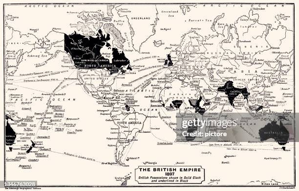
the british empire 1897 (high resolution with great detail) - old india map stock illustrationsTHE BRITISH EMPIRE 1897 (High resolution with great detail)British Empire, Map, World Map
antique map of orbis veteribus notus, the old world - old india map stock illustrationsAntique map of Orbis veteribus notus, The Old WorldMap, Middle East, Old-fashioned
old antique map of madras, hybrabad, mysore, coorg, ceylon, india, 1890s, victorian british raj 19th century - old india map stock illustrationsOld Antique map of Madras, Hybrabad, Mysore, Coorg, Ceylon, India, 1890s, Victorian British Raj 19th CenturyMap, India, Archival
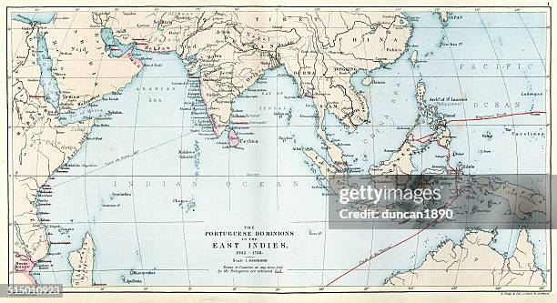
antique map of the portuguese empire - old india map stock illustrationsAntique Map of the Portuguese EmpireMap, India, Old-fashioned
kerala map in retro vintage style - old textured paper - old india map stock illustrationsKerala map in retro vintage style - Old textured paperOld-fashioned, Map, India
hindu representation of the earth - old india map stock illustrationsHindu representation of the earthIndia, Engraved Image, Globe - Navigational Equipment
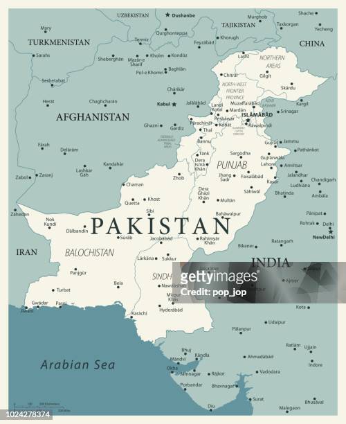
23 - pakistan - vintage murena 10 - old india map stock illustrations23 - Pakistan - Vintage Murena 10Pakistan, Map, India
countries of diadochi ( from greek: διάδοχοι, diádokhoi, "successors") were the rival generals, families, and friends of alexander the great who fought for control over his empire after his death in 323 bc - old india map stock illustrationsCountries of Diadochi ( from Greek: Διάδοχοι, Diádokhoi, "successors") were the rival generals, families, and friends of Alexander the Great who fought for control over his empire after his death in 323 BCMap, Ancient, West Asia
the victorian world - old india map stock illustrationsThe Victorian WorldGlobe - Navigational Equipment, Cartoon, World Map
world map with north america, south america, africa, europe, asia and oceania continents. vector illustration - old india map stock illustrationsWorld Map with North America, South America, Africa, Europe, Asia and Oceania Continents. Vector IllustrationWorld Map, Map, Globe - Navigational Equipment
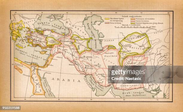
antique map of alexander the great's empire - old india map stock illustrationsAntique Map of Alexander the Great's EmpireMap, Ancient, Alexander the Great
bombay, india - 1893 atlas map from brockhaus encyclopedia - old india map stock illustrationsBombay, India - 1893 Atlas Map from Brockhaus Encyclopedia
antique map of india (1899) - old india map stock illustrationsAntique map of India (1899)Map, India, Archival
india map in retro vintage style - old textured paper - old india map stock illustrationsIndia map in retro vintage style - old textured paperIndia, Map, Old-fashioned
vintage map of the world - old india map stock illustrationsVintage Map of the WorldWorld Map, Map, Globe - Navigational Equipment
vintage compass - old india map stock illustrationsvintage compassCompass Rose, Navigational Compass, Vector
antique damaged map of india 19th century - old india map stock illustrationsAntique damaged map of India 19th CenturyIndia, Map
vintage map of pakistan - old india map stock illustrationsVintage Map of PakistanPakistan, Map, Old-fashioned
punjab map with long shadow on textured yellow background - old india map stock illustrationsPunjab map with long shadow on textured yellow backgroundMap, India, Frame - Border
selection of world flags - old india map stock illustrationsSelection of world flagsMap, Mexico, Flag
vintage india map with retro style, on dusty white background - old india map stock illustrationsVintage India map with retro style, on dusty white backgroundMap, India
a map of asian in pastel colors - old india map stock illustrationsA map of Asian in pastel colorsMap, Asia, India
old antique map of punjab, sindh, rajputana, kashmir, 1890s, victorian 19th century - old india map stock illustrationsOld Antique map of Punjab, Sindh, Rajputana, Kashmir, 1890s, Victorian 19th CenturyPunjab - Pakistan, Map, Old-fashioned
india map on old paper - vintage texture - old india map stock illustrationsIndia Map on old paper - vintage textureIndia, Map
antquie map of the world - old india map stock illustrationsAntquie Map of the WorldWorld Map, Map, Atlantic Ocean
world map according to eratosthenes (c.276 bc-c.195/194 bc) - old india map stock illustrationsWorld map according to Eratosthenes (c.276 BC-c.195/194 BC)Map, World Map, Mediterranean Sea
map of calcutta 1830 - old india map stock illustrationsmap of calcutta 1830Kolkata, Map, Old-fashioned
political map of asia and former colonies, chromolithograph, published 1898 - old india map stock illustrationsPolitical map of Asia and former colonies, chromolithograph, published 1898Map, Asia, India
vintage map of eurasia - old india map stock illustrationsVintage Map of EurasiaMap, Old-fashioned, Europe
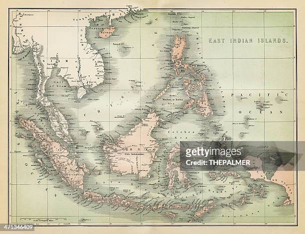
map of east indian islands 1860 - old india map stock illustrationsmap of east indian islands 1860Map, Island Of Borneo, Obsolete
antique map of india or hindustan - old india map stock illustrationsAntique Map of India or HindustanMap, India, Bangladesh
antique map of europe and middle east (1898) - old india map stock illustrationsAntique map of Europe and Middle East (1898)Middle East, Map, Europe
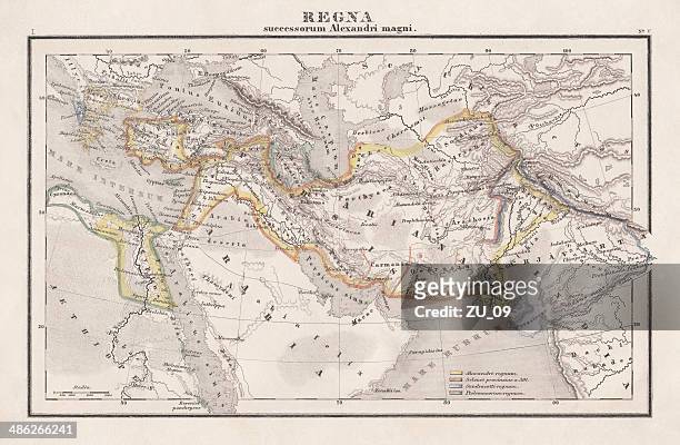
empire of alexander the great, hand-coloured steel engraving,published 1861 - old india map stock illustrationsEmpire of Alexander the Great, hand-coloured steel engraving,published 1861Alexander the Great, Map, Iran
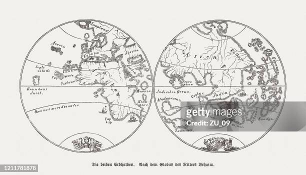
world map by martin behaim (1459-1507), wood engraving, published 1888 - old india map stock illustrationsWorld map by Martin Behaim (1459-1507), wood engraving, published 1888Map, World Map, Globe - Navigational Equipment
the british empire 1837 (high resolution with great detail) - old india map stock illustrationsTHE BRITISH EMPIRE 1837 (High resolution with great detail)Map, British Empire, World Map
map of asia with distances from london (1882) - old india map stock illustrationsMap of Asia with distances from London (1882)Map, Engraved Image
map from old french atlas: india, economy - old india map stock illustrationsMap from old French Atlas: India, EconomyMap, India
world map according to eratosthenes - old india map stock illustrationsWorld map according to EratosthenesMap, World Map, Art