map of central america - bahamas city stock illustrationsMap of Central AmericaMap, Vector, Central America
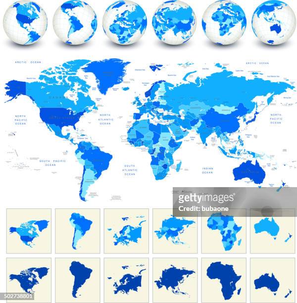
world map geography deatiled vector illustration in blue - bahamas city stock illustrationsWorld Map Geography Deatiled Vector Illustration in BlueMap, Vector, Europe
bahamas - vector map. golden green colored map of the bahamas - bahamas city stock illustrationsBahamas - Vector Map. Golden Green Colored Map of the BahamasMap
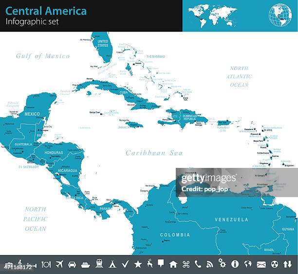
map of central america - infographic set - bahamas city stock illustrationsMap of Central America - Infographic SetMap, Central America, Vector
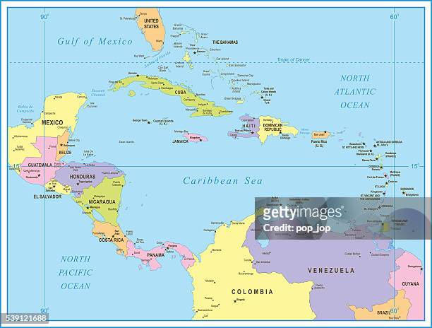
colored map of central america - bahamas city stock illustrationsColored Map of Central AmericaMap, Vector
map of central america - illustration - bahamas city stock illustrationsMap of Central America - illustrationMap, Central America, Grenada
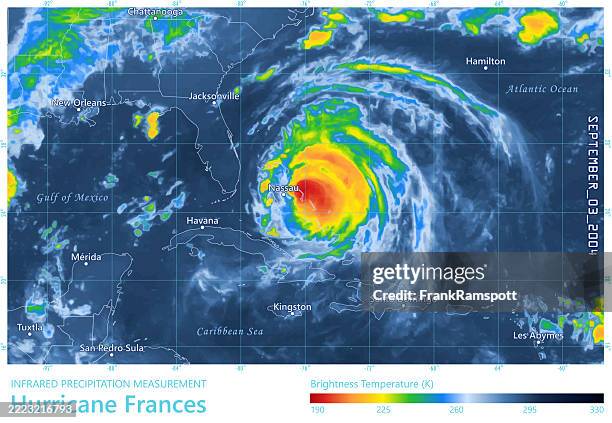
hurricane frances 20040903 precipitation map florida - bahamas city stock illustrationsHurricane Frances 20040903 Precipitation Map FloridaRadar, Map
a vintage map of central america - bahamas city stock illustrationsA vintage map of Central AmericaMap, Honduras, Central America
world geography central america - bahamas city stock illustrationsWorld Geography Central AmericaMap, Caribbean Culture, Central America
map of north and central america - bahamas city stock illustrationsMap of North and Central AmericaMap, North America
vintage map of central america - bahamas city stock illustrationsVintage Map of Central AmericaMap, Colombia, Haiti
vector world map geography of north america - bahamas city stock illustrationsVector World Map Geography of North America
hurricane erin 20250816 wind weather map caribbean sea infographic - bahamas city stock illustrationsHurricane Erin 20250816 Wind Weather Map Caribbean Sea Infographic2025
map of central america - illustration - bahamas city stock illustrationsMap of Central America - illustrationMap, Colombia
map of cuba - states, cities, flag and navigation icons - bahamas city stock illustrationsMap of Cuba - states, cities, flag and navigation iconsMap
map of cuba - states, cities, flag, navigation icons - bahamas city stock illustrationsMap of Cuba - states, cities, flag, navigation iconsMap
map of central america and navigation icons - bahamas city stock illustrationsMap of Central America and Navigation Icons
hurricane arthur 2014 track north atlantic ocean infographic - bahamas city stock illustrationsHurricane Arthur 2014 Track North Atlantic Ocean Infographic
hurricane floyd 1999 track north atlantic ocean infographic - bahamas city stock illustrationsHurricane Floyd 1999 Track North Atlantic Ocean InfographicNew York City, Map, Meteorology
central america - infographic map - illustration - bahamas city stock illustrationsCentral America - Infographic map - illustrationMap, Infographic
hurricane erin 20250817 precipitation map puerto rico - bahamas city stock illustrationsHurricane Erin 20250817 Precipitation Map Puerto RicoJamaica, Radar
bahamas - vector map. blue tone color color map of bahamas with neighboring countries - bahamas city stock illustrationsBahamas - Vector Map. Blue Tone Color Color Map of Bahamas with Neighboring CountriesMap
hurricane fay 2014 track north atlantic ocean infographic - bahamas city stock illustrationsHurricane Fay 2014 Track North Atlantic Ocean Infographic
map of central america and navigation icons - bahamas city stock illustrationsMap of Central America and Navigation Icons
hurricane erin 2025 track atlantic ocean infographic - bahamas city stock illustrationsHurricane Erin 2025 Track Atlantic Ocean Infographic
hurricane melissa 20251030 06utc precipitation map bahamas - bahamas city stock illustrationsHurricane Melissa 20251030 06UTC Precipitation Map Bahamas
nicaragua map with navigation icons - bahamas city stock illustrationsNicaragua map with navigation icons
map of central america infographic - bahamas city stock illustrationsMap of Central America Infographic
hurricane humberto 2019 track north atlantic ocean infographic - bahamas city stock illustrationsHurricane Humberto 2019 Track North Atlantic Ocean Infographic
hurricane melissa 20251029 06utc precipitation map cuba - bahamas city stock illustrationsHurricane Melissa 20251029 06UTC Precipitation Map Cuba
political map of north america - bahamas city stock illustrationsPolitical map of North AmericaEducation
neon map of the bahamas against black background - bahamas city stock illustrationsNeon map of The Bahamas against black background
hurricane cristobal 2014 track north atlantic ocean infographic - bahamas city stock illustrationsHurricane Cristobal 2014 Track North Atlantic Ocean Infographic
hurricane bertha 2014 track north atlantic ocean infographic - bahamas city stock illustrationsHurricane Bertha 2014 Track North Atlantic Ocean Infographic
hurricane jose 2017 track north atlantic ocean infographic - bahamas city stock illustrationsHurricane Jose 2017 Track North Atlantic Ocean Infographic
map of central america - infographic - bahamas city stock illustrationsMap of Central America - Infographic
two hurricanes imelda humberto 20250930 wind weather map atlantic ocean infographic - bahamas city stock illustrationsTwo Hurricanes Imelda Humberto 20250930 Wind Weather Map Atlantic Ocean InfographicBermuda
map of cuba - states, cities and flag - bahamas city stock illustrationsMap of Cuba - states, cities and flag
hurricane isabel 2003 track north atlantic ocean infographic - bahamas city stock illustrationsHurricane Isabel 2003 Track North Atlantic Ocean Infographic
central america - highly detailed map - bahamas city stock illustrationsCentral America - highly detailed map
hurricane michelle 2001 track north atlantic ocean infographic - bahamas city stock illustrationsHurricane Michelle 2001 Track North Atlantic Ocean Infographic
hurricane lili 1996 track north atlantic ocean infographic - bahamas city stock illustrationsHurricane Lili 1996 Track North Atlantic Ocean InfographicIreland