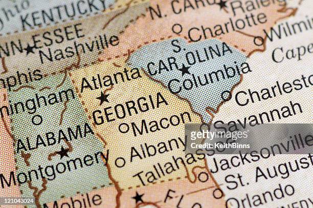
old chromolithograph map of united states of america (usa) - southeast us map stock pictures, royalty-free photos & images
Map shows the locations migrants can use busses to transport them out of Eagle Pass, Texas, on September 26, 2023 at the Mission Border Hope complex,...
Canada, the British colonies with the Louisiana and Florida, in a map done two years after the Independence declaration and before the official...
old chromolithograph map of united states of america (usa) - southeast us map stock pictures, royalty-free photos & images
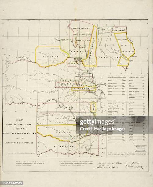
Map showing the lands assigned to emigrant Indians west of Arkansas and Missouri, 1836. Following passage of the Indian Removal Act in 1830,...
Map of the territory of the United States from the Mississippi to the Pacific Ocean; ordered by Jeff'n Davis, Secretary of War to accompany the...
old engraved map of charleston, the most populous city in the u.s. state of south carolina, the county seat of charleston county, and the principal city in the charleston metropolitan area - southeast us map stock pictures, royalty-free photos & images
Map of the Trans-Mississippi of the United States during the period of the American fur trade as conducted from St. Louis between the years 1807 and...
Map of part of the United States exhibiting the principal mail routes west of the Mississippi River, 1867. This map, published in 1867, shows the...
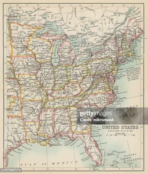
old chromolithograph map of united states of america - eastern division - southeast us map stock pictures, royalty-free photos & images
Indian Reservations west of the Mississippi River, 1923. This map, created by the Office of Indian Affairs in 1923, shows the location of Indian...
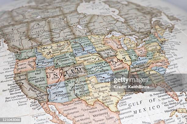
old chromolithograph map of united states of america (usa) - southeast us map stock pictures, royalty-free photos & images
President George W. Bush gestures while speaking on Gulf Coast recovery at the St Stanislaus College in Waveland, MS, 12 January 2006. Bush confirmed...
Historic photographs and a map of Jefferson Street is viewed at the Jefferson Street Sound museum in Nashville, Tennessee on March 15, 2024. Country...
Attendees in front of a venue map at the 2024 CERAWeek by S&P Global conference in Houston, Texas, US, on Thursday, March 21, 2024. More than 7,000...
Venue map displayed ahead of the 2024 CERAWeek by S&P Global conference in Houston, Texas, US, on Sunday, March 17, 2024. CERAWeek 2024 will explore...
old engraved map of the charleston, south carolina in 1780 - southeast us map stock pictures, royalty-free photos & images
Laurie Segall and Tekedra Mawakana at Featured Session: Scaling Safely: Waymo's Roadmap for a Multi-City AV Service as part of SXSW 2024 Conference...
old chromolithograph map of united states of america (usa) - southeast us map stock pictures, royalty-free photos & images
Tekedra Mawakana at Featured Session: Scaling Safely: Waymo's Roadmap for a Multi-City AV Service as part of SXSW 2024 Conference and Festivals held...
top view of group of people, walking across united states map, painted on asphalt - southeast us map stock pictures, royalty-free photos & images
Tekedra Mawakana at Featured Session: Scaling Safely: Waymo's Roadmap for a Multi-City AV Service as part of SXSW 2024 Conference and Festivals held...
Laurie Segall and Tekedra Mawakana at Featured Session: Scaling Safely: Waymo's Roadmap for a Multi-City AV Service as part of SXSW 2024 Conference...
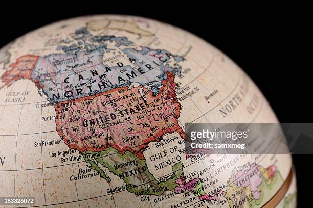
vintage style globe showing north america - southeast us map stock pictures, royalty-free photos & images
Laurie Segall and Tekedra Mawakana at Featured Session: Scaling Safely: Waymo's Roadmap for a Multi-City AV Service as part of SXSW 2024 Conference...
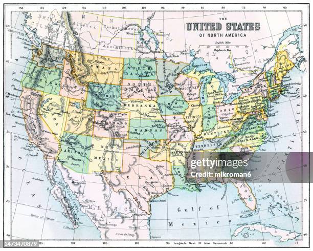
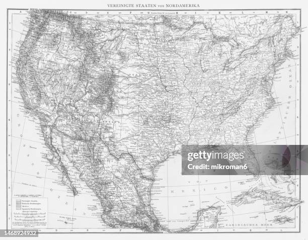
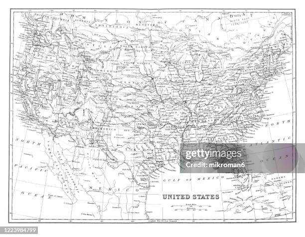
old map of united states, published 1894. - southeast us map stock pictures, royalty-free photos & images
Tekedra Mawakana at Featured Session: Scaling Safely: Waymo's Roadmap for a Multi-City AV Service as part of SXSW 2024 Conference and Festivals held...
south atlantic us states 3d render topographic map color - southeast us map stock pictures, royalty-free photos & images
Tekedra Mawakana at Featured Session: Scaling Safely: Waymo's Roadmap for a Multi-City AV Service as part of SXSW 2024 Conference and Festivals held...
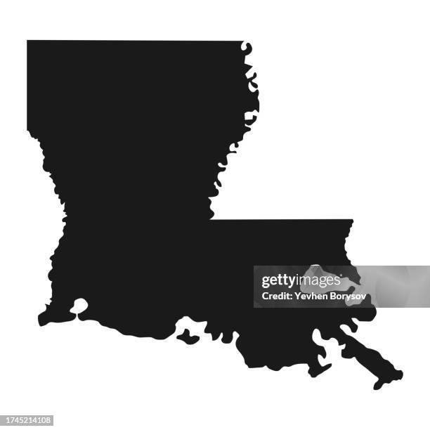
louisiana state map with detailed borders - southeast us map stock pictures, royalty-free photos & images
Laurie Segall and Tekedra Mawakana at Featured Session: Scaling Safely: Waymo's Roadmap for a Multi-City AV Service as part of SXSW 2024 Conference...
old chromolithograph map of united states of america (usa) - southeast us map stock pictures, royalty-free photos & images
Tekedra Mawakana and Laurie Segall at Featured Session: Scaling Safely: Waymo's Roadmap for a Multi-City AV Service as part of SXSW 2024 Conference...
old chromolithograph map of united states of america - eastern division - southeast us map stock pictures, royalty-free photos & images
Tekedra Mawakana at Featured Session: Scaling Safely: Waymo's Roadmap for a Multi-City AV Service as part of SXSW 2024 Conference and Festivals held...
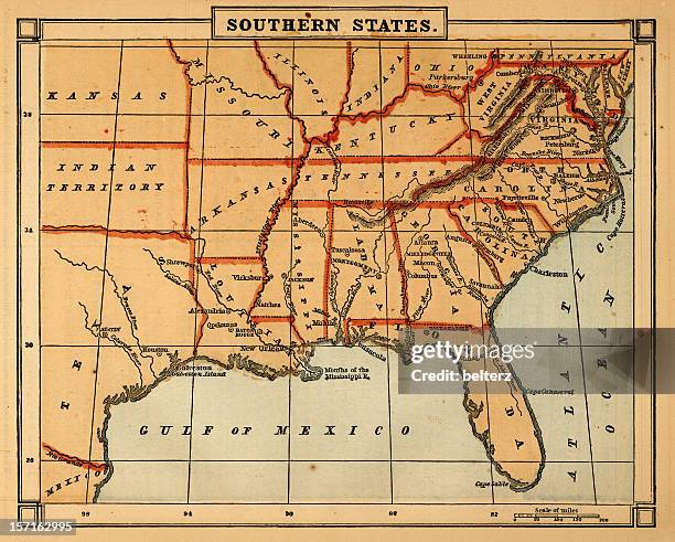
old chromolithograph map of southern states of united states of america - southeast us map stock pictures, royalty-free photos & images
Laurie Segall at Featured Session: Scaling Safely: Waymo's Roadmap for a Multi-City AV Service as part of SXSW 2024 Conference and Festivals held at...
old chromolithograph map of united states - southeast us map stock pictures, royalty-free photos & images
Laurie Segall and Tekedra Mawakana at Featured Session: Scaling Safely: Waymo's Roadmap for a Multi-City AV Service as part of SXSW 2024 Conference...
old engraved map of new orleans, city located along the mississippi river in the southeastern region of the u.s. state of louisiana - southeast us map stock pictures, royalty-free photos & images
Laurie Segall and Tekedra Mawakana at Featured Session: Scaling Safely: Waymo's Roadmap for a Multi-City AV Service as part of SXSW 2024 Conference...
old engraved map of st. louis, an independent city in the u.s. state of missouri, united states - southeast us map stock pictures, royalty-free photos & images
Laurie Segall and Tekedra Mawakana at Featured Session: Scaling Safely: Waymo's Roadmap for a Multi-City AV Service as part of SXSW 2024 Conference...
old engraved map of charleston, the most populous city in the u.s. state of south carolina, the county seat of charleston county, and the principal city in the charleston metropolitan area - southeast us map stock pictures, royalty-free photos & images
Laurie Segall and Tekedra Mawakana at Featured Session: Scaling Safely: Waymo's Roadmap for a Multi-City AV Service as part of SXSW 2024 Conference...
old chromolithograph of railway map of united states - southeast us map stock pictures, royalty-free photos & images
Laurie Segall and Tekedra Mawakana at Featured Session: Scaling Safely: Waymo's Roadmap for a Multi-City AV Service as part of SXSW 2024 Conference...
old chromolithograph map of united states of america - eastern division - southeast us map stock pictures, royalty-free photos & images
Laurie Segall at Featured Session: Scaling Safely: Waymo's Roadmap for a Multi-City AV Service as part of SXSW 2024 Conference and Festivals held at...
old chromolithograph map of united states - southeast us map stock pictures, royalty-free photos & images
Tekedra Mawakana and Laurie Segall at Featured Session: Scaling Safely: Waymo's Roadmap for a Multi-City AV Service as part of SXSW 2024 Conference...