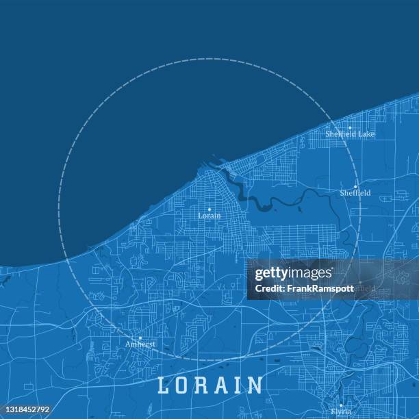
lorain oh city vector road map blue text - oh stock illustrationsLorain OH City Vector Road Map Blue TextOhio, Road Map
antique illustration of usa: baltimore, maryland - baltimore and ohio railroad office - oh stock illustrationsAntique illustration of USA: Baltimore, Maryland - Baltimore and Ohio railroad officeOhio, Engraved Image
vintage world war ii propaganda poster. - oh stock illustrationsVintage World War II propaganda poster.World War II, Poster
map of new york, new jersey 1871 - oh stock illustrationsMap of New York, New Jersey 1871Map, New Jersey, Old-fashioned
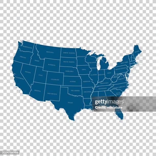
blue map of usa with paper cut effect - oh stock illustrationsBlue map of USA with paper cut effectUSA, Alaska - US State, Map
cleveland, ohio usa vector map - oh stock illustrationsCleveland, Ohio USA Vector MapBlueprint, Ohio, Backgrounds
antique illustration of usa, ohio landmarks and companies: akron, buchtel college - oh stock illustrationsAntique illustration of USA, Ohio landmarks and companies: Akron, Buchtel CollegeOhio, University
ohio map with the spread of covid-19. coronavirus outbreak - oh stock illustrationsOhio map with the spread of COVID-19. Coronavirus outbreak
map of ohio state and cardinal birds - oh stock illustrationsMap of Ohio State and Cardinal BirdsBird, Map
happy thanksgiving ohio, united states raster map illustration - oh stock illustrationsHappy Thanksgiving Ohio, United States Raster Map IllustrationOhio
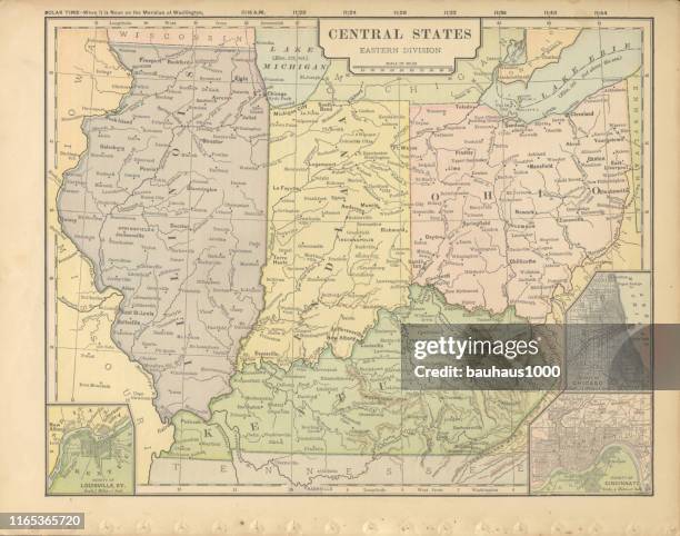
eastern central states of the united states of america antique victorian engraved colored map, 1899 - oh stock illustrationsEastern Central States of the United States of America Antique Victorian Engraved Colored Map, 1899Map, Illinois, Cincinnati
flat map of ohio state with cities against black background - oh stock illustrationsFlat map of Ohio state with cities against black backgroundOhio, Map
railroad battery protecting workmen on the philadelphia, wilmington and baltimore and ohio raiulroad american civil war engraving - oh stock illustrationsRailroad Battery Protecting Workmen on the Philadelphia, Wilmington and Baltimore and Ohio Raiulroad American Civil War EngravingTrain - Vehicle, Army Soldier, Armed Forces
tecumseh defends the whites... -xxxl with lots of details - oh stock illustrationsTECUMSEH DEFENDS THE WHITES... -XXXL with lots of detailsFighting
cincinnati city on the ohio river 1887 - oh stock illustrationsCincinnati city on the Ohio River 1887Archival, Cincinnati, Ohio
antique photograph: high street, columbus, ohio - oh stock illustrationsAntique photograph: High Street, Columbus, OhioOhio, Old-fashioned, Archival
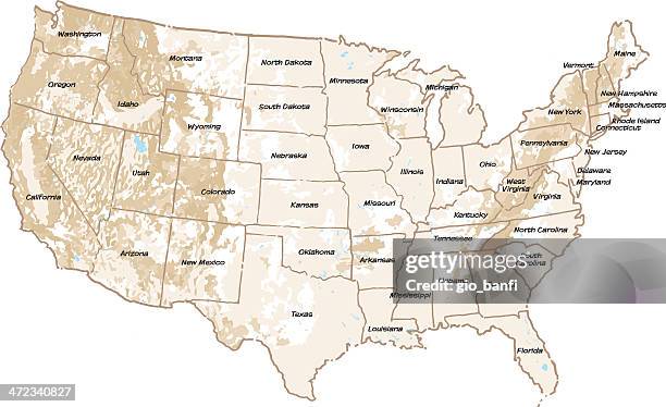
usa map with pins - highly detailed - oh stock illustrationsUSA Map With Pins - Highly DetailedMap, USA
fayette county, ohio. maps for design. blank, white and black backgrounds - oh stock illustrationsFayette County, Ohio. Maps for design. Blank, white and black backgroundsOhio, District
oh ottawa county vector map green - oh stock illustrationsOH Ottawa County Vector Map GreenMap, Ohio, District
madison county, ohio. maps on blue and red backgrounds - oh stock illustrationsMadison County, Ohio. Maps on blue and red backgroundsOhio
cuyahoga county, ohio. map on white background with red banner - oh stock illustrationsCuyahoga County, Ohio. Map on white background with red bannerDistrict, Outline, Ohio
oh wood county vector map green - oh stock illustrationsOH Wood County Vector Map GreenOhio, District, Map
butler county, ohio. map on blue and red background - oh stock illustrationsButler County, Ohio. Map on blue and red backgroundOhio
ohio license plate with state map & flag - oh stock illustrationsOhio License Plate With State Map & FlagOhio
ohio map with sunbeams on white background - oh stock illustrationsOhio map with sunbeams on white backgroundOhio
st. clair's defeat during the northwest indian war in ohio, united states - 18th century - oh stock illustrationsSt. Clair's Defeat During the Northwest Indian War in Ohio, United States - 18th CenturyOhio, Engraved Image
hamilton oh city vector road map blue text - oh stock illustrationsHamilton OH City Vector Road Map Blue TextOhio, Illustration, Map
map of usa eastern central states 1883 - oh stock illustrationsMap of USA Eastern Central states 1883Map, Illinois, USA
retro united state travel map - oh stock illustrationsRetro United State Travel MapMap, Wisconsin, USA
antique illustration from uncle tom's cabin novel: eliza escaping across the ohio - oh stock illustrationsAntique illustration from Uncle Tom's Cabin novel: Eliza Escaping across the OhioArchival, Old-fashioned, Ohio
black and white illustration of the capitol at columbus, 1800's - oh stock illustrationsBlack and White Illustration of the Capitol at Columbus, 1800's