halifax ns city vector road map blue horizontal - halifax city stock illustrationsHalifax NS City Vector Road Map Blue HorizontalMap, Canada, Nova Scotia
halifax ns city vector road map blue text - halifax city stock illustrationsHalifax NS City Vector Road Map Blue TextMap, Vector
hurricane irene 2011 track north atlantic ocean infographic - halifax city stock illustrationsHurricane Irene 2011 Track North Atlantic Ocean InfographicData
map of canada - states, cities and navigation icons - halifax city stock illustrationsMap of Canada - states, cities and navigation iconsMap, Quebec, Canada
halifax, west yorkshire, in the 19th century - halifax city stock illustrationsHalifax, West Yorkshire, in the 19th CenturyIndustrial Revolution, UK, Old-fashioned
cityscape of halifax, nova scotia, canada - 19th century - halifax city stock illustrationsCityscape of Halifax, Nova Scotia, Canada - 19th CenturyShip, Canada
canada map - illustration - halifax city stock illustrationsCanada Map - illustrationMap, Vector, Canada
halifax, nova scotia in the 19th century - halifax city stock illustrationsHalifax, Nova Scotia in the 19th CenturyNova Scotia, Canada, Old-fashioned
storm melissa 20191011 wind weather map new york infographic - halifax city stock illustrationsStorm Melissa 20191011 Wind Weather Map New York InfographicData, Weather
canada - green highly detailed map - halifax city stock illustrationsCanada - green highly detailed mapCanada, Flag, Map
storm newfoundland 20241206 wind weather map atlantic ocean infographic - halifax city stock illustrationsStorm Newfoundland 20241206 Wind Weather Map Atlantic Ocean InfographicCanada, Weather Map, Natural Disaster
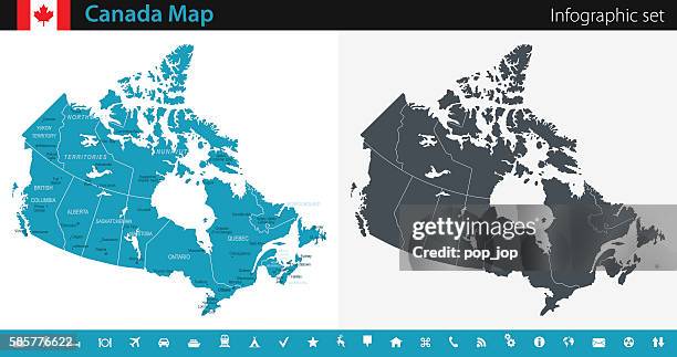
canada map - infographic set - halifax city stock illustrationsCanada Map - Infographic SetCanada, Map, Vector
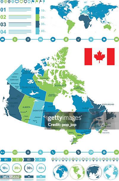
colored infographic canada map - halifax city stock illustrationsColored Infographic Canada MapMap, Canada, Vector
halifax, nova scotia, 19th century - halifax city stock illustrationsHalifax, Nova Scotia, 19th CenturyCanada, Ship, Nova Scotia
vt windham halifax vector road map - halifax city stock illustrationsVT Windham Halifax Vector Road Map
canada - infographic map - illustration - halifax city stock illustrationsCanada - infographic map - Illustration
halifax, nova scotia vector watercolor map - halifax city stock illustrationsHalifax, Nova Scotia Vector Watercolor Map
canada - infographic map - illustration - halifax city stock illustrationsCanada - infographic map - Illustration
canada - old-fashioned map - illustration - halifax city stock illustrationsCanada - old-fashioned map - IllustrationMap
canada - infographic map - illustration - halifax city stock illustrationsCanada - infographic map - IllustrationMap, Planet - Space, Canada
canada - infographic map - illustration - halifax city stock illustrationsCanada - infographic map - Illustration
winter storm gianna 20260201 06utc precipitation map usa east - halifax city stock illustrationsWinter Storm Gianna 20260201 06UTC Precipitation Map USA East
hurricane chris 2012 track north atlantic ocean infographic - halifax city stock illustrationsHurricane Chris 2012 Track North Atlantic Ocean Infographic
hurricane teddy 2020 track north atlantic ocean infographic - halifax city stock illustrationsHurricane Teddy 2020 Track North Atlantic Ocean Infographic
extratropical cyclone 20260218 00utc precipitation map atlantic ocean - halifax city stock illustrationsExtratropical Cyclone 20260218 00UTC Precipitation Map Atlantic Ocean
winter storm 20250109 wind weather map us east coast infographic - halifax city stock illustrationsWinter Storm 20250109 Wind Weather Map US East Coast InfographicWeather, Winter, New York City
antique photograph: barrington street, halifax, nova scotia - halifax city stock illustrationsAntique photograph: Barrington Street, Halifax, Nova ScotiaNova Scotia, Street
hurricane maria 2011 track north atlantic ocean infographic - halifax city stock illustrationsHurricane Maria 2011 Track North Atlantic Ocean Infographic
canada map - illustration - halifax city stock illustrationsCanada Map - illustrationToronto, Grid Pattern
hurricane katia 2011 track north atlantic ocean infographic - halifax city stock illustrationsHurricane Katia 2011 Track North Atlantic Ocean InfographicData, Weather
canada map and navigation icons - halifax city stock illustrationsCanada Map and Navigation IconsQuebec
canada - infographic map - illustration - halifax city stock illustrationsCanada - infographic map - Illustration
canada - infographic map - illustration - halifax city stock illustrationsCanada - infographic map - IllustrationMap, Infographic, Canada
canada map and navigation icons - halifax city stock illustrationsCanada Map and Navigation IconsMap, Canada
canada - infographic map - illustration - halifax city stock illustrationsCanada - infographic map - IllustrationInfographic, Map
canada - infographic map - illustration - halifax city stock illustrationsCanada - infographic map - IllustrationMap, Canada
canada - old-fashioned map - illustration - halifax city stock illustrationsCanada - old-fashioned map - IllustrationMap, Toronto, Old-fashioned
canada - infographic map - illustration - halifax city stock illustrationsCanada - infographic map - Illustration