Rhode Island Vector Map Isolated - stock illustration
Detailed vector map of the US State of Rhode Island with administrative divisions. The colors in the .eps-file are ready for print (CMYK). Included files are EPS (v10) and Hi-Res JPG.

Get this image in a variety of framing options at Photos.com.
PURCHASE A LICENCE
All Royalty-Free licences include global use rights, comprehensive protection, and simple pricing with volume discounts available
£275.00
GBP
Getty ImagesRhode Island Vector Map Isolated High-Res Vector Graphic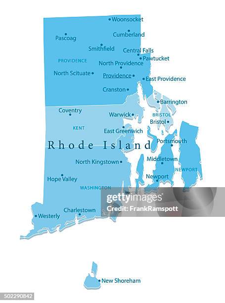 Download premium, authentic Rhode Island Vector Map Isolated stock illustrations from Getty Images. Explore similar high-resolution stock illustrations in our expansive visual catalogue.Product #:502290842
Download premium, authentic Rhode Island Vector Map Isolated stock illustrations from Getty Images. Explore similar high-resolution stock illustrations in our expansive visual catalogue.Product #:502290842£275£50
Getty Images
In stockDETAILS
Credit:
Creative #:
502290842
Licence type:
Collection:
DigitalVision Vectors
Max file size:
3556 x 4787 px (30.11 x 40.53 cm) - 300 dpi - 1 MB
Upload date:
Release info:
No release required
Categories:
- Rhode Island Illustrations,
- Map Illustrations,
- Block Island Illustrations,
- Blue Illustrations,
- Providence - Rhode Island Illustrations,
- Cartography Illustrations,
- Circle Illustrations,
- Clip Art Illustrations,
- Coastline Illustrations,
- Colour Image Illustrations,
- Computer Graphic Illustrations,
- Country - Geographic Area Illustrations,
- Design Illustrations,
- Digitally Generated Image Illustrations,
- Illustration Illustrations,
- International Border Illustrations,
- National Border Illustrations,
- No People Illustrations,
- Text Illustrations,
- US State Border Illustrations,
- USA Illustrations,
- Vector Illustrations,
- Vertical Illustrations,