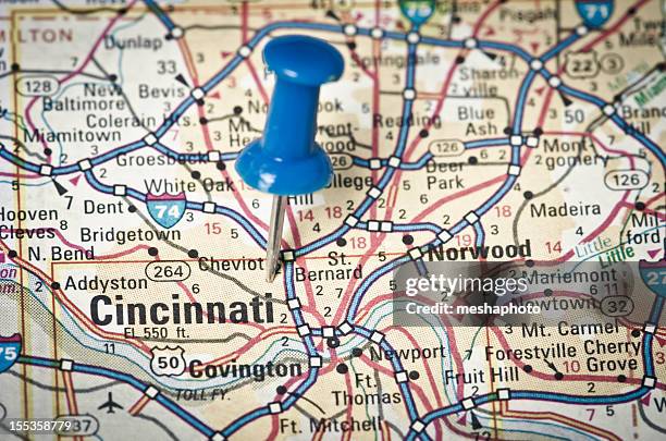
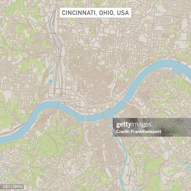
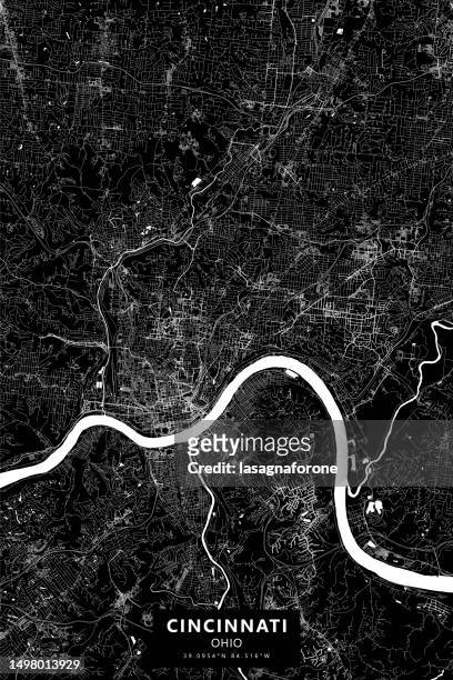
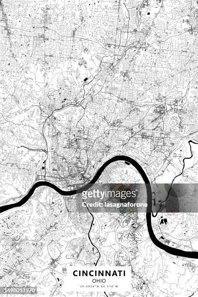
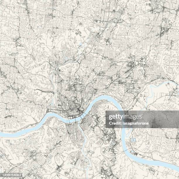
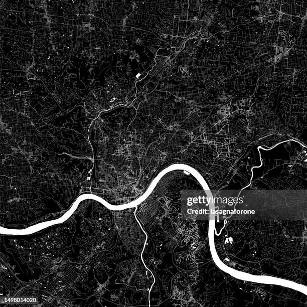
cincinnati ohio 3d render map blue top view oct 2019 - cincinnati map stock pictures, royalty-free photos & images
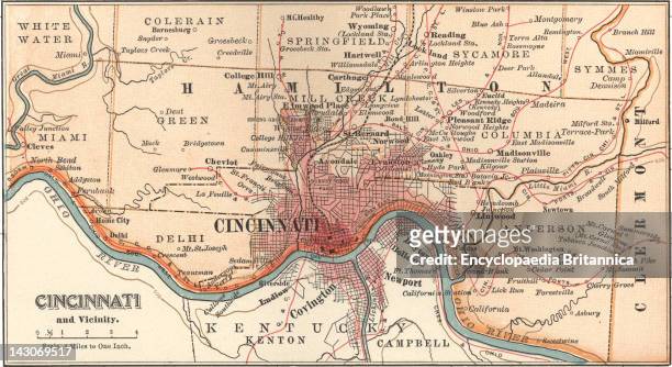
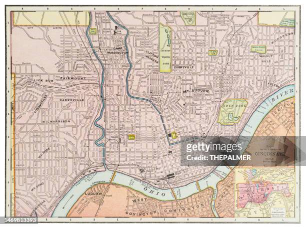
Map Of Cincinnati, Map Of Cincinnati, Ohio, Circa 1900, From The 10Th Edition Of Encyclopaedia Britannica.
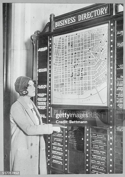
Show Me the Way? Cincinnati, Ohio: This novel electrical directory has just made its appearance in the lobby of a Cincinnati hotel. Guests get...
Map Of Indiana, Map Of Indiana, United States, Circa 1902, From The 10Th Edition Of Encyclopaedia Britannica.
Map Of Kentucky, Map Of Kentucky, United States, Circa 1902, From The 10Th Edition Of Encyclopaedia Britannica.
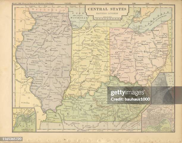
Map Of Southern Ohio, Map Of The Southern Part Of Ohio, United States, With Inset Maps Of Cincinnati And Cleveland, Circa 1902, From The 10Th Edition...
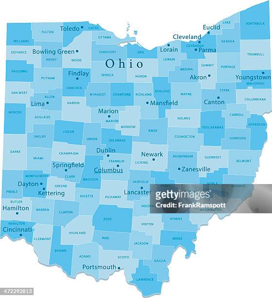
Political Map Of Ohio, Political Map Of The State Of Ohio Showing Counties And County Seats, Includes Insets Of The Cleveland And Cincinnati...
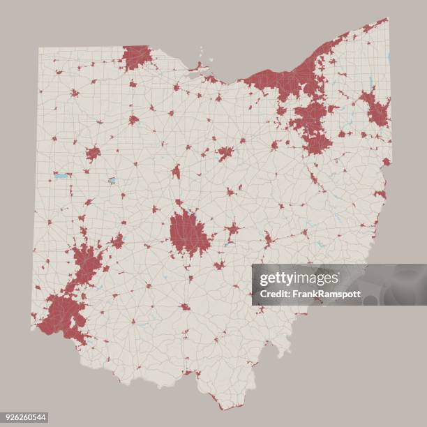
Political Map Of Ohio, Political Map Of The State Of Ohio, Including Insets Of The Cleveland And Cincinnati Metropolitan Areas.
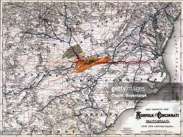
Map of the routes travelled by the Norfolk and Cincinnati Railroad Company, 1882. Illustration by G.W. & C.B. Colton Company.
Full-length studio portrait of Robert C. Phillips, Cincinnati city civil engineer, as he poses with one hand on a tripod-mounted theodolite and a...
They raised the curtain January 5th on one of the war's top secrets - the control room of the Army Air Transport Command's Ferrying division - by...
The skyline of Cincinnati, Ohio is seen on November 7, 2021. Republican officials in the area drew a congressional map that slices through the city,...
Political signs are seen near the line that divides congressional districts in Cincinnati, Ohio on November 7, 2021. Republican officials in the area...
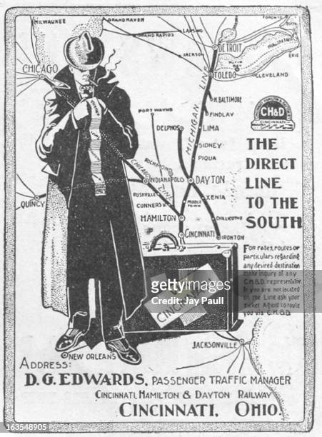
Man holds a newspaper and map while reading for news related to the First World War Cincinnati, Ohio.
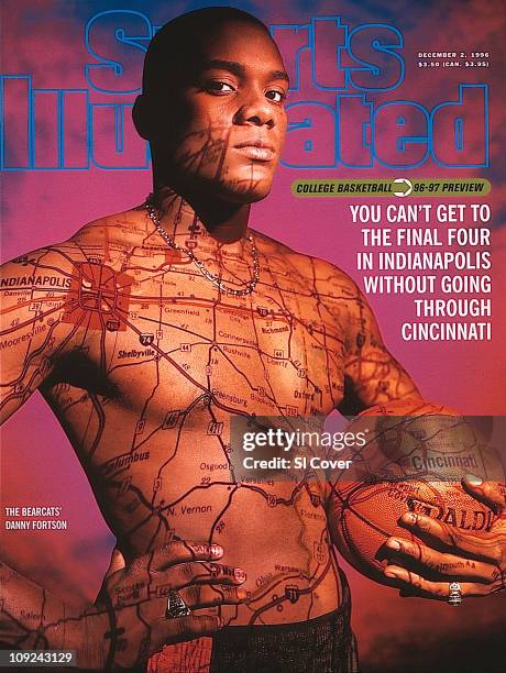
December 2, 1996 Sports Illustrated via Getty Images Cover:College Basketball: NCAA Season Preview: Casual portrait of Cincinnati Danny Fortson...
Jeff Kindle, COO of Membermap, talks on the phone below a map marking his company's clients March 27, 2002 in Cincinnati, OH. Main Street Ventures, a...
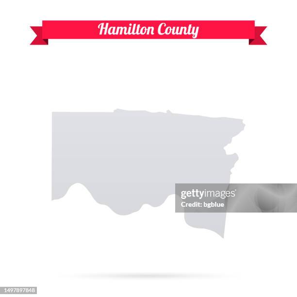
hamilton county, ohio. map with paper cut effect on blank background - cincinnati map stock illustrations
hamilton county, ohio. maps for design. blank, white and black backgrounds - cincinnati map stock illustrations
eastern central states of the united states of america antique victorian engraved colored map, 1899 - cincinnati map stock illustrations
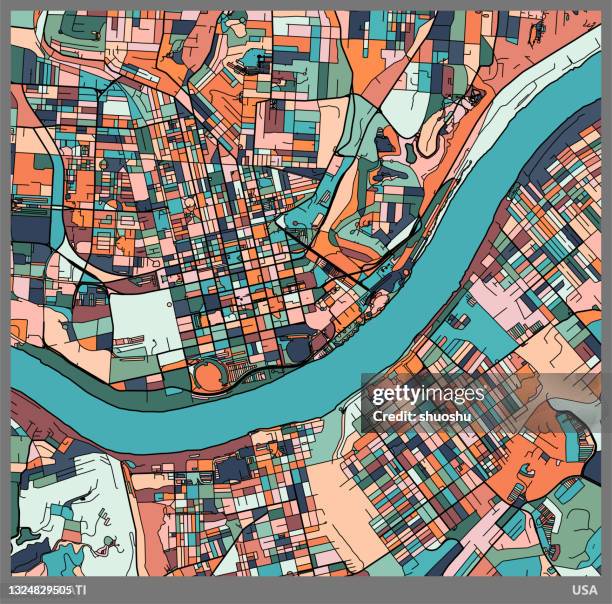
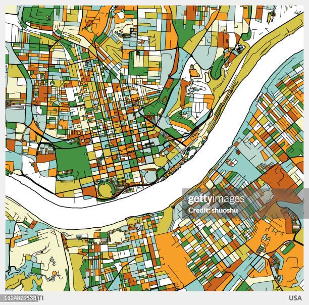
colorful illustration style city map,cincinnati city,usa.map data made with natural earth. - cincinnati map stock illustrations